Ley lines in Arizona are part of a global network of purported electromagnetic or "telluric" energy paths that connect significant geological features, ancient ruins, and spiritual sites. Most famous for the concentrated "vortices" in Sedona, these lines are believed by practitioners to facilitate healing, spiritual awakening, and a deeper connection to the Earth's natural resonance.
Arizona has long been a focal point for those interested in geomancy, earth energies, and the intersection of ancient history with modern spirituality. From the towering red rocks of Sedona to the vast depths of the Grand Canyon, the state is home to some of the most significant energy nodes in North America. To understand ley lines in Arizona, one must look at the convergence of geological reality, indigenous history, and the metaphysical theories that have gained international popularity over the last several decades.
Defining Ley Lines and the Concept of Telluric Energy
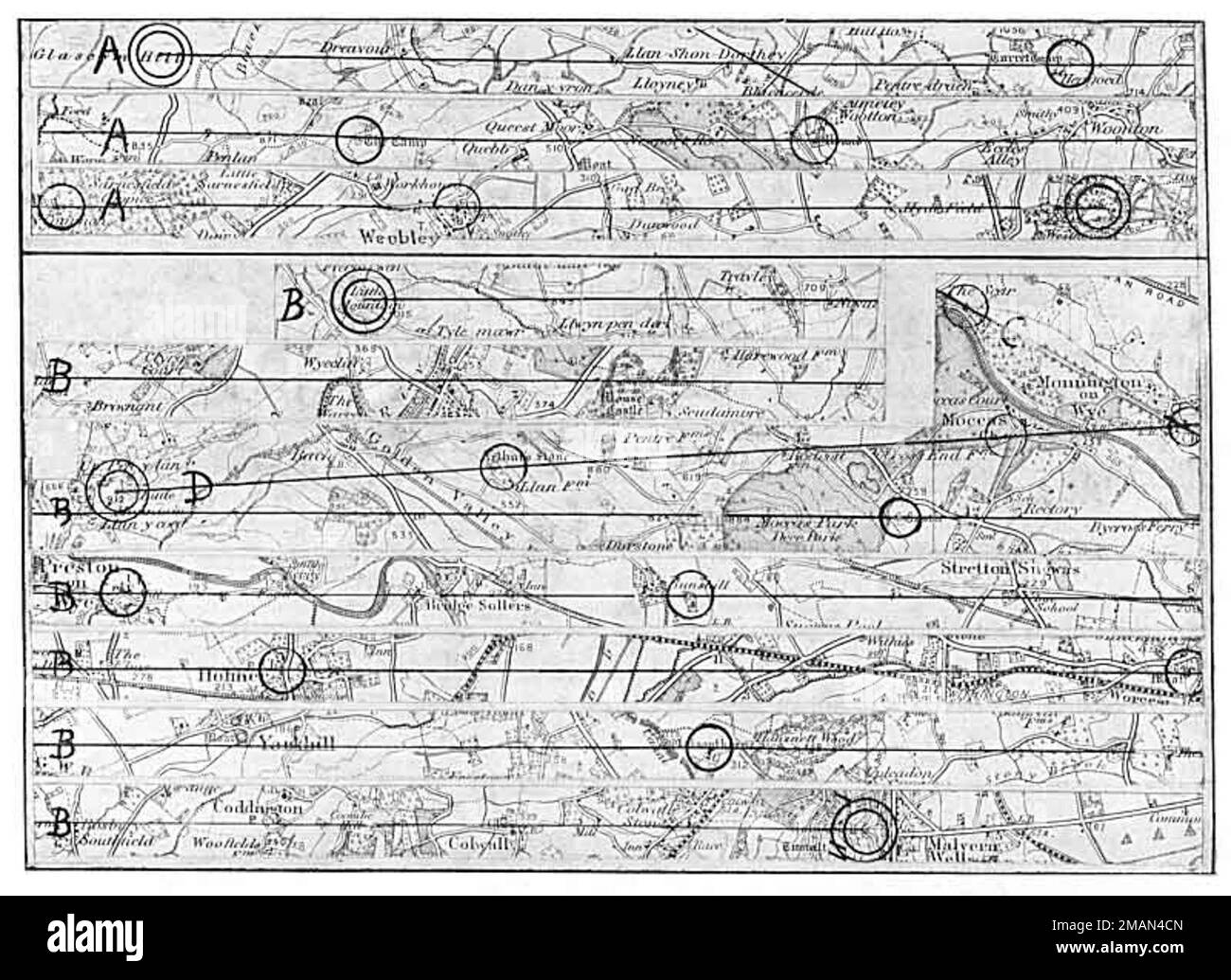
The term "ley line" was originally coined by Alfred Watkins in the 1920s to describe straight-line alignments between ancient British monuments and landmarks. Watkins viewed them as old trade routes or navigation paths. However, the concept evolved significantly in the late 20th century. In the modern context, especially in the American Southwest, ley lines are viewed as "veins" of the Earth through which energy flows.
In Arizona, these lines are often associated with telluric currents—extremely low-frequency (ELF) electric currents that move through the Earth's crust. Proponents of ley line theory suggest that where these lines intersect, energy "nodes" or "vortices" are created. While mainstream geology recognizes electromagnetic variations in different regions due to mineral content, the metaphysical community interprets these variations as a spiritual resource. In 2026, Arizona remains the primary destination for travelers seeking to experience these alignments firsthand, blending traditional tourism with spiritual "energy work."
Sedona: The Epicenter of Arizona Energy Nodes
No discussion of Arizona ley lines is complete without focusing on Sedona. Located in the Coconino National Forest, Sedona is widely considered one of the most powerful "power spots" on the planet. The area is believed to be the junction of multiple major and minor ley lines, resulting in what locals call "vortices."
The Primary Sedona Vortices
A vortex is a specific location where energy is said to swirl and tap into the Earth's power. In Sedona, four main sites are recognized as the primary nodes of this energy network:
- Airport Mesa: Known for its "upflow" or electric energy, this site is sought after for its ability to help visitors gain a higher perspective or "view from above." It is theoretically linked to ley lines that connect the high desert to the southern plains.
- Cathedral Rock: This site is categorized as having "inflow" or feminine (magnetic) energy. It is associated with introspection, nurturing, and grounding. The ley lines passing through Cathedral Rock are thought to facilitate emotional healing.
- Bell Rock: Often cited as the most powerful site, Bell Rock is said to contain "balanced" energy (both electric and magnetic). Its distinct shape and high iron oxide content make it a visual and energetic landmark.
- Boynton Canyon: This site features a "balanced" energy as well, representing the masculine and feminine energies in harmony. It is historically significant to the Yavapai-Apache Nation and is a key intersection point for local energy paths.
The Geological Influence on Sedona’s Energy
The "energy" felt in Sedona is often attributed by researchers to the high concentration of quartz and iron in the sandstone. Quartz is piezoelectric, meaning it can generate an electric charge under mechanical stress (such as tectonic pressure). Iron-rich rocks, which give Sedona its iconic red color, are naturally magnetic. The combination of these minerals at the intersection of major geological fault lines provides a physical basis for the "vibrations" reported by sensitive visitors and dowsers.
The Grand Canyon: A Planetary Alignment Point
Moving north from Sedona, the Grand Canyon represents a much larger node on the purported "World Grid." Some geomantic researchers, such as those following the Becker-Hagens grid theory, place the Grand Canyon on a major planetary ley line that connects to other global sites like the Pyramids of Giza and Stonehenge.
The sheer scale of the Grand Canyon makes it a significant site for "earth mystery" enthusiasts. The canyon exposes billions of years of geological history, and the presence of ancient, isolated shrines—such as those found in the "Shiva Temple" or "Isis Temple" formations—leads many to believe that ancient civilizations recognized the canyon as a supreme energy center. In 2026, the National Park Service continues to manage record numbers of visitors who come not just for the views, but for the perceived "silence and resonance" of the inner canyon depths.
Indigenous Perspectives and Ancient Alignments
Long before the term "ley line" reached the Southwest, the indigenous peoples of Arizona—including the Hopi, Navajo (Diné), Zuni, and Sinagua—recognized the sacred nature of the landscape. Their migration routes, shrines, and dwellings often follow specific geographic alignments that modern researchers identify as ley lines.
The Orion Correlation and the Hopi Mesas
A popular theory in the realm of archaeoastronomy and ley lines suggests that the three primary Hopi Mesas (First, Second, and Third Mesa) align with the stars in Orion’s Belt. This mirrors the theory proposed about the Giza Pyramids. Whether this alignment was intentional or a reflection of the Earth’s natural energetic structure, the Hopi have lived on these mesas for over a millennium, viewing them as the "Center of the World."
Wupatki and Casa Grande
Other sites like Wupatki National Monument near Flagstaff and the Casa Grande Ruins south of Phoenix are often cited as nodes on the Arizona ley line map. These structures were built with precise astronomical alignments to the solstices and equinoxes. Ley line proponents argue that these ancient peoples built their ceremonial centers at the intersection of energy paths to enhance their connection to the celestial and terrestrial realms.
The Science and Pseudoscience of Dowsing for Lines
In 2026, "energy mapping" has become a popular activity for those exploring Arizona's backcountry. This involves the use of dowsing rods—an ancient technique used to find water—to locate the boundaries of ley lines. While there is no empirical scientific evidence that dowsing rods react to spiritual energy, practitioners claim they are responding to the electromagnetic fluctuations of the earth.
For those interested in a more technical approach, magnetometers and ELF (Extremely Low Frequency) meters are sometimes used. These devices can detect variations in the Earth's magnetic field, which are often found near fault lines or areas with high mineral density. In Arizona, the transition from the Colorado Plateau to the Basin and Range province creates significant geological tension, which may explain why so many ley lines are mapped across this "Transition Zone."
Practical Guidance for Exploring Arizona’s Ley Lines
If you are planning to visit Arizona to explore these energy paths in 2026, it is important to approach the journey with both an open mind and a respect for the land. Many of these sites are ecologically fragile or hold deep religious significance for Native American tribes.
Access and Permitting
Most of the primary ley line nodes in Arizona are located on public land managed by the National Park Service or the U.S. Forest Service. Some areas, particularly those within the Grand Canyon or near Sedona, require entrance fees or parking permits (such as the Red Rock Pass).
Safety Considerations
Arizona’s climate is extreme. When hiking to remote energy sites:
- Hydration: Carry at least one gallon of water per person per day.
- Navigation: Ley line maps are often metaphorical; always carry a GPS and a physical topographic map.
- Wildlife: Be aware of rattlesnakes and scorpions, which are common in the rocky areas where energy nodes are often located.
Comparison of Major Arizona Energy Sites
The following table provides a comparison of the most prominent sites associated with ley lines and energy vortices in Arizona, based on current 2026 data.
| Site Name | Primary Location | Energy Type | Accessibility | Primary Feature |
|---|---|---|---|---|
| Bell Rock | Sedona | Balanced / Electromagnetic | Moderate (Hike) | Distinctive "Bell" shape, iron-rich |
| Airport Mesa | Sedona | Electric / Upflow | Easy (Parking nearby) | Panoramic views, high vibration |
| Cathedral Rock | Sedona | Magnetic / Inflow | Difficult (Steep climb) | Spires, creek access at base |
| Hopi Mesas | Navajo County | Spiritual / Ancestral | Restricted (Tours only) | Ancient villages, star alignment |
| Grand Canyon | Coconino County | Planetary / World Grid | Varied | Massive scale, deep geological layers |
| Casa Grande | Coolidge | Astronomical / Solar | Easy (Guided) | Ancient "Great House" observatory |
| Montezuma Well | Rimrock | Calm / Aqueous | Easy (Paved path) | Natural limestone sinkhole, sacred water |
Frequently Asked Questions
What is the best time of year to visit Arizona's ley lines?
The best times to visit are during the shoulder seasons: Spring (March to May) and Fall (September to November). During these months, the weather is temperate, allowing for long days of hiking and meditation. Summer temperatures in the desert can exceed 110°F (43°C), making outdoor exploration dangerous, while high-altitude sites like Flagstaff can experience heavy snow in winter.
Can you see ley lines on a map?
Ley lines are not visible on standard topographic or road maps. They are conceptualized through "energy maps" created by metaphysical researchers or by connecting ancient sites with a straightedge on a map. However, you can use geological maps from the United States Geological Survey (USGS) to find fault lines and mineral deposits that often correlate with reported energy nodes.
Is Sedona the only place with vortices in Arizona?
No. While Sedona is the most marketed location, energy seekers have identified vortices throughout the state. Other notable areas include the Superstition Mountains (east of Phoenix), Mt. Graham, and the Chiricahua National Monument. Many believe that any location where significant geological uplift meets ancient human history has the potential to be a vortex.
Do ley lines affect electronics?
There are anecdotal reports of cameras, cell phones, and GPS devices malfunctioning in high-energy areas like Sedona or near the Grand Canyon. While some attribute this to "vortices," it is more likely caused by iron-rich rocks interfering with internal compasses or the remote nature of the terrain leading to poor signal reception. Always have a non-electronic backup for navigation.
Are ley lines scientifically proven?
Ley lines as "energy paths" are not recognized by mainstream science. Geology and physics do recognize electromagnetic fields, telluric currents, and the piezoelectric properties of minerals, but there is no peer-reviewed evidence that these forces align in straight lines across the globe for spiritual purposes. The study of ley lines remains a field of "fringe" science or spiritual belief.
Next Steps for the Energy Traveler
If you are drawn to the concept of ley lines in Arizona, your next step should be to visit Sedona or the Grand Canyon with an intentional focus. Start by visiting the Sedona Chamber of Commerce & Tourism Bureau to find maps of the local vortex sites. For a deeper experience, consider hiring a local guide who specializes in "vortex tours" or geomancy. These experts can provide historical context and help you navigate the rugged terrain safely. Always remember to "Leave No Trace" to preserve the natural beauty and energetic integrity of these sacred sites for future generations.