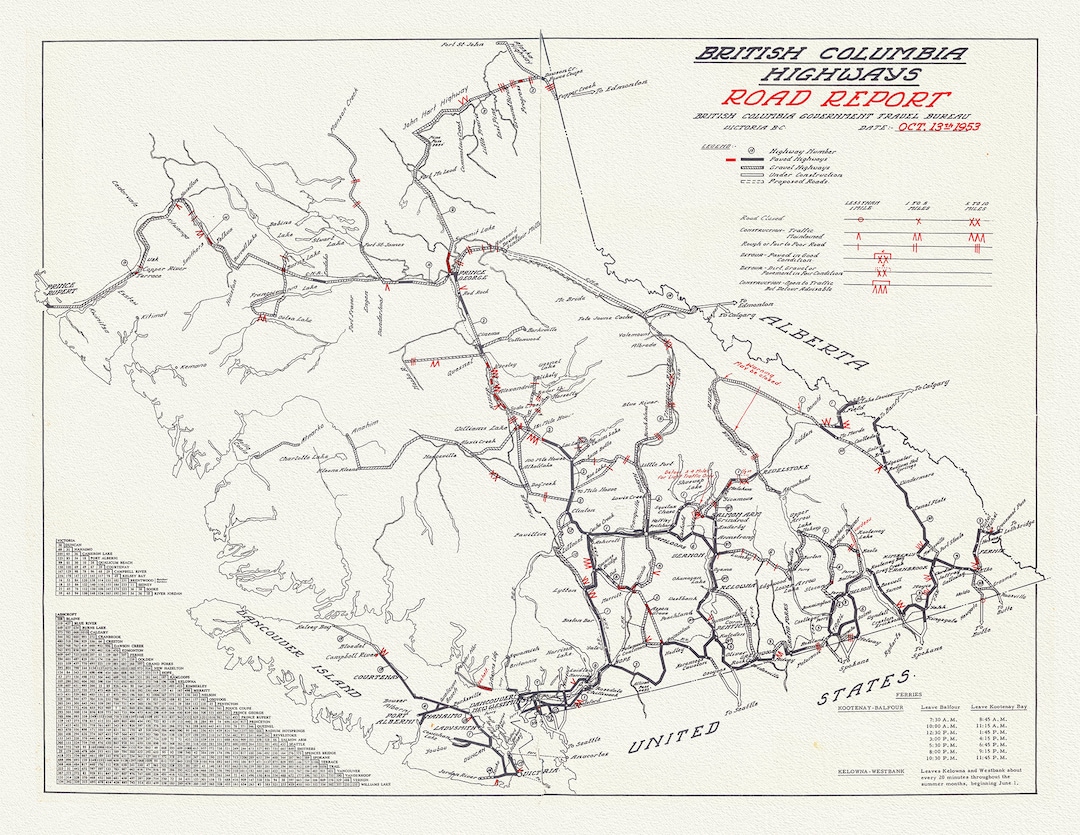
Navigating British Columbia’s extensive highway network requires advanced preparation due to the province’s diverse and challenging geography. Whether you are traveling through the mountainous interior, the coastal regions, or the northern territories, understanding how to access real-time road conditions, adhere to mandatory seasonal tire regulations, and prepare for variable mountain weather is essential for safe transit.
The British Columbia Ministry of Transportation and Infrastructure manages over 46,000 kilometers of roads, ranging from major multi-lane freeways to remote gravel passes. Because these routes traverse high-elevation mountain ranges like the Coast Mountains and the Rockies, the most critical element of successful travel is the ability to interpret weather patterns and regulatory mandates that change significantly between October and April.
Understanding the BC Highway Network
The highway system in British Columbia is categorized by its classification—numbered highways, arterial roads, and local connectors—which dictates the level of maintenance and the standard of service provided. The most frequented routes include the Trans-Canada Highway (Highway 1), the Coquihalla Highway (Highway 5), and the Yellowhead Highway (Highway 16).
These roads are subjected to extreme environmental conditions, including heavy snowfall, frequent landslides, and fog. The government maintains a series of road weather information systems (RWIS) that feed data directly to public-facing portals. Understanding that a highway is "open" does not necessarily mean the conditions are optimal for standard passenger vehicles; rather, it indicates the status of maintenance crews and the absence of full-scale closures.
Mandatory Regulations: Winter Tires and Chains
From October 1 to March 31, all passenger vehicles operating on most British Columbia highways—including mountain passes and rural routes—are legally required to be equipped with winter tires. This regulation is strictly enforced, and failure to comply can result in significant fines or being turned away at vehicle inspection checkpoints.
Tire Specifications
To be considered compliant, a tire must carry the mountain/snowflake symbol or be marked with "M+S" (Mud and Snow). However, the Ministry of Transportation recommends the mountain/snowflake symbol for severe winter conditions, as these tires offer superior traction in temperatures below 7°C.
For commercial vehicles, the requirements are more stringent. Heavy trucks are often required to carry chains or other approved traction devices. Even if a vehicle has winter tires, commercial operators must ensure they have their chains ready for deployment when encountering specific signage indicating "Chains Required."
Regulatory Compliance Comparison Table
| Vehicle Type | Requirement Period | Compliance Criteria | Consequences of Non-Compliance |
|---|---|---|---|
| Passenger Vehicle | Oct 1 – Mar 31 | M+S or Mountain/Snowflake Tires | Fines or Mandatory Turn-around |
| Commercial Vehicle | Oct 1 – Mar 31 | Winter tires + Chains carried | Fines and potential insurance voiding |
| Seasonal Exceptions | Throughout Year | None | N/A (Standard road laws apply) |
Accessing Real-Time Road Conditions
The primary source for verified, real-time data is DriveBC, the provincial government's official information portal. DriveBC provides updates on incidents, construction delays, road closures, and live camera feeds across the entire province.
How to Use DriveBC Efficiently
- Interactive Map: Utilize the map interface to filter by region. This allows you to see current road status, road surface conditions (e.g., slushy, compact snow, bare), and temperature readings.
- Webcams: The system hosts hundreds of live webcams. Always check the camera feed at the highest pass on your route before departing, as conditions can differ drastically from the lowlands.
- Event Reports: Read the detailed incident reports. An "event" might range from a minor maintenance project to a major avalanche control operation or a multi-vehicle collision causing indefinite closure.
It is highly recommended that travelers check these sources no more than 60 minutes before departure, as mountain weather in British Columbia is notoriously volatile and can shift from clear skies to blizzard conditions in less than an hour.
Safety Protocols for Mountain Passes
British Columbia is defined by its rugged topography. Major routes such as the Coquihalla (Highway 5) or the Rogers Pass (Highway 1) involve rapid changes in elevation. Driving these routes requires different skills compared to urban or flat-terrain driving.
Engine Braking and Gear Selection
On steep descents, using your brakes excessively can cause them to overheat and fade, leading to a loss of stopping power. Utilize lower gears to allow the engine to assist in braking. If you are operating an automatic vehicle, shift into a lower gear manually to maintain a controlled, steady speed without riding the brakes.
Avalanche Safety and Control
In winter, the Ministry of Transportation conducts active avalanche control using artillery or remote exploders. If you see signs indicating "Avalanche Area," do not stop or stand still in these zones. During active control operations, highways may be closed for hours. Always check for "Avalanche Control" notifications on the official highway status page before entering high-risk corridors.
Emergency Preparation
Never travel on BC highways in winter without an emergency kit. Recommended items include:
- A winter sleeping bag or heavy blankets for every passenger.
- Non-perishable food and water.
- A fully charged portable power bank for your mobile phone.
- A small shovel and traction aids (like sand or cat litter).
- High-visibility clothing in case you must exit the vehicle.
Common Mistakes and How to Avoid Them
The most common error drivers make on British Columbia highways is overestimating the capabilities of their vehicle. Even with four-wheel or all-wheel drive, stopping distance is largely dictated by tire tread and surface friction.
Another frequent mistake is failing to account for "Black Ice." This is a thin, transparent layer of ice that forms on the road surface, particularly in shaded areas or on bridges. It often looks like wet pavement but offers zero traction. When driving in temperatures near freezing, always assume bridge decks may be icy, regardless of how the rest of the road looks.
Furthermore, do not rely solely on GPS navigation for route planning during storm events. While Google Maps or similar services provide live traffic, they may not always reflect official highway closures or specific weight restrictions for commercial vehicles. Always verify your route against official government updates.
Frequently Asked Questions
1. Where can I find the most accurate road closure information?
The official source is the DriveBC website. It is updated 24/7 by regional road maintenance contractors and provincial authorities. Avoid relying on unofficial social media groups for emergency information, as they may contain outdated or unverified reports.
2. Can I drive on Highway 5 (Coquihalla) without winter tires in February?
No. Legal requirements for winter tires (M+S or mountain/snowflake) are in effect across most BC highways from October 1 to March 31. You will be denied entry to mountain passes by police or ministry officials if your vehicle is not properly equipped.
3. What should I do if I am caught in a road closure?
If a highway is closed due to a crash or weather event, stay in your vehicle. Turning around or attempting to drive on unauthorized detours can lead to getting stuck or interfering with emergency vehicles. Monitor local radio or the DriveBC portal for updates on estimated opening times.
4. Are there tolls on British Columbia highways?
As of 2026, there are no tolls on the major provincial highways in British Columbia. All public highways are maintained through provincial tax revenue and government grants.
5. How do I report a road hazard?
If you encounter a dangerous road condition, such as a fallen tree, an oversized animal, or a large pothole, report it to the road maintenance contractor for that specific region. The contact numbers are listed on the provincial government website and are often posted on signs along the highway.
Practical Recommendation for Travelers
If your travel plans include crossing any mountain passes between October and April, your primary action should be a "Pre-Departure Safety Check." This involves checking your tire pressure, ensuring your windshield washer fluid is rated for deep freezing temperatures, and scanning the DriveBC map for your specific route. If the weather forecast calls for significant snowfall, consider delaying your trip or selecting an alternate, lower-elevation route if one is available. Always share your travel itinerary and expected arrival time with a contact person, as cellular service is frequently unavailable in the interior stretches of British Columbia's highway system.