New Jersey road cameras provide motorists, commuters, and logistics professionals with real-time visual data regarding highway conditions, congestion levels, construction delays, and weather impacts across the state's extensive transportation network. Managed primarily by the New Jersey Department of Transportation and the New Jersey Turnpike Authority, these public feeds serve as an essential resource for optimizing travel routes and maintaining roadway safety.
Understanding the New Jersey Road Camera Infrastructure
The highway network in New Jersey handles some of the highest traffic volumes in the United States. To manage this congestion and maintain public safety, state transportation agencies operate expansive networks of closed-circuit television (CCTV) cameras. These systems are positioned strategically along major interstates, state highways, toll roads, and bridge crossings.
Key Operating Agencies
Monitoring traffic across the Garden State requires coordination between multiple distinct entities. Understanding who operates a specific stretch of road dictates where a commuter must look to find corresponding camera feeds.
- New Jersey Department of Transportation (NJDOT): NJDOT oversees state highways, non-toll interstates, and major state routes. Their cameras feed directly into the state's traffic management systems and are made available to the public.
- New Jersey Turnpike Authority (NJTA): The NJTA manages two of the state's premier toll roads: the New Jersey Turnpike and the Garden State Parkway. These corridors feature dedicated camera networks optimized for high-speed, high-capacity toll road monitoring.
- Port Authority of New York and New Jersey (PANYNJ): For interstate crossings such as the George Washington Bridge, the Lincoln Tunnel, the Holland Tunnel, and the Goethals Bridge, the Port Authority operates specialized camera feeds. These feeds capture approach roads, toll plazas, and trans-Hudson transit hubs.
- South Jersey Transportation Authority (SJTA): The SJTA operates the Atlantic City Expressway and selected regional infrastructure in the southern portion of the state, maintaining independent traffic camera arrays.
Technology and Transmission
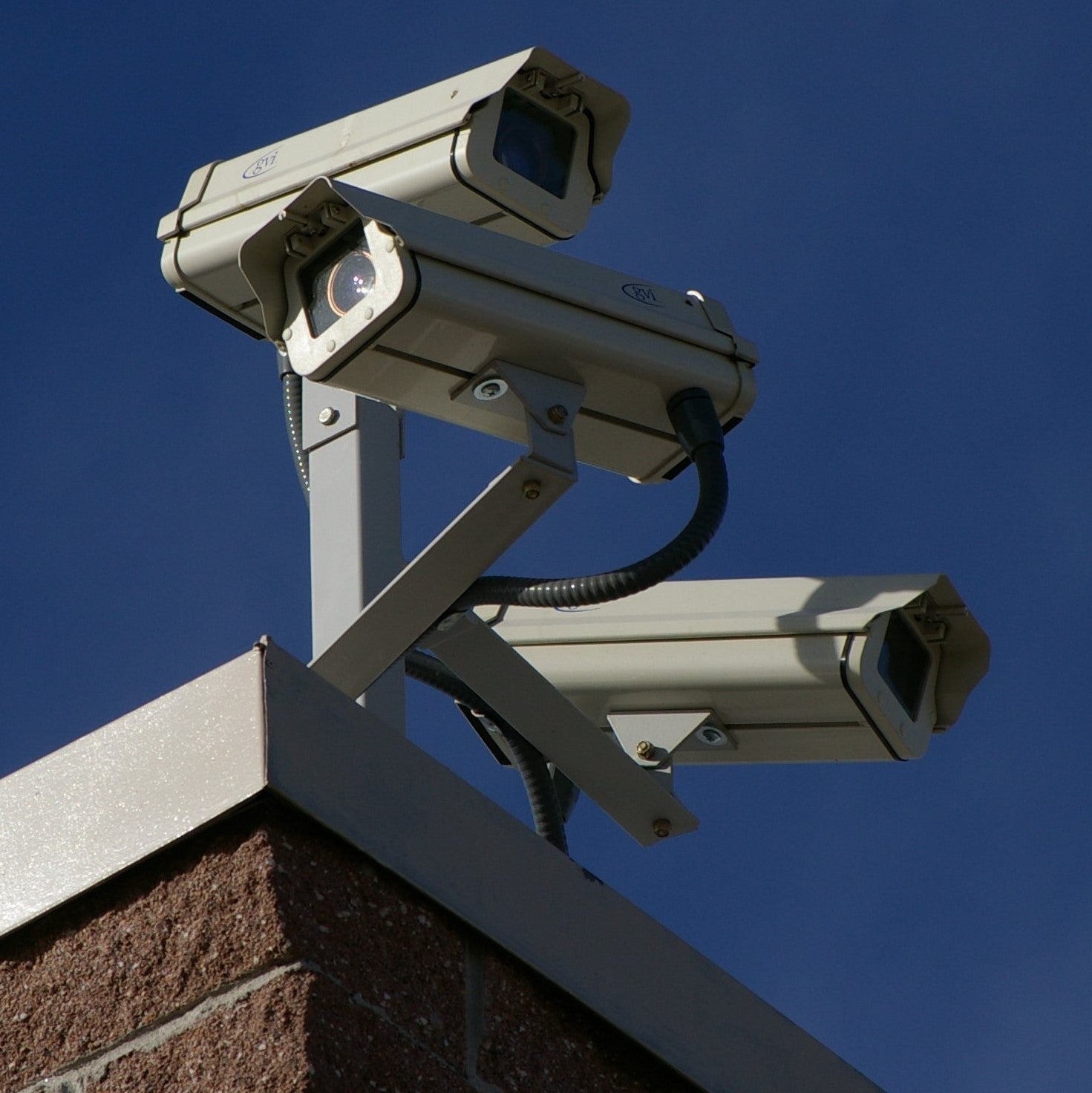
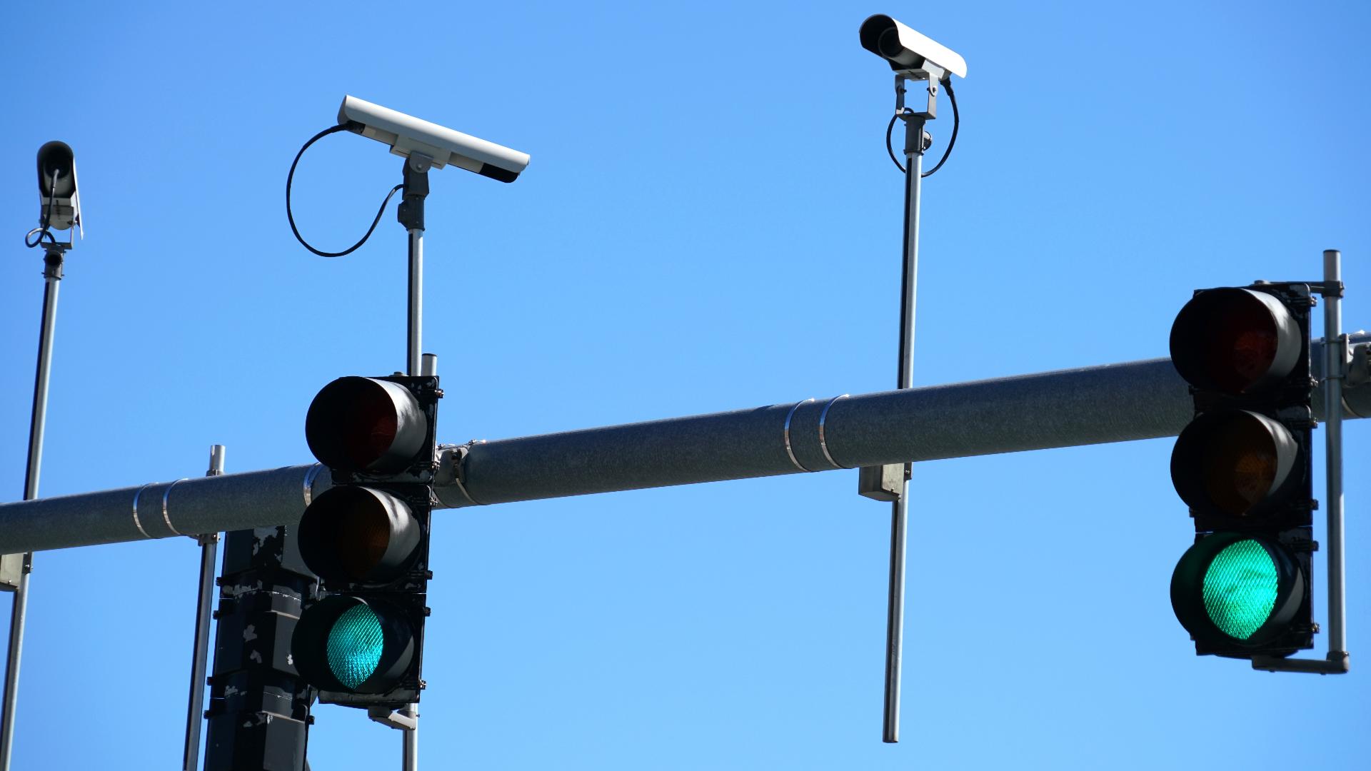
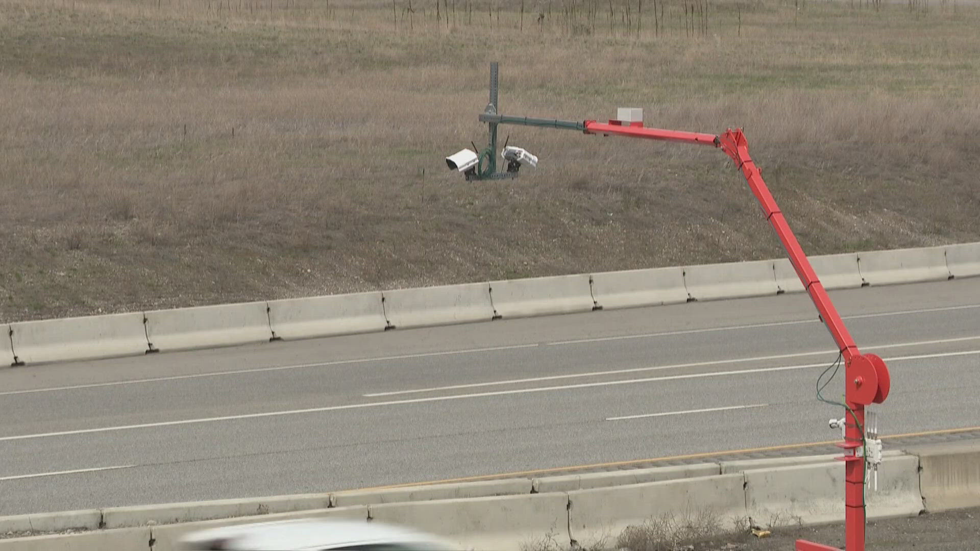
Modern New Jersey road cameras utilize high-definition digital pan-tilt-zoom (PTZ) lenses mounted on towering poles or overhead sign structures. These cameras transmit live video feeds or high-frequency snapshots back to regional transportation management centers (TMCs).
At the TMCs, operators monitor conditions continuously to dispatch emergency responders, manage variable message signs, and update automated travel time systems. The public-facing feeds are typically refreshed at regular intervals—often every few seconds or minutes—to balance bandwidth capabilities with up-to-date visibility.
Accessing Live Feeds: Platforms and Portals
Accessing New Jersey road cameras requires knowing which digital portals aggregate these public assets. Because different agencies maintain separate jurisdictions, multiple platforms provide comprehensive coverage of the state's roadways.
511NJ Traffic Portal
The primary hub for real-time travel information in New Jersey is the 511NJ System, administered by NJDOT. The 511NJ website features an interactive map overlay where users can toggle traffic camera icons on or off.
Selecting an individual camera icon opens a window displaying the latest snapshot or video feed for that specific milepost. The platform also aggregates incident reports, construction notices, flooding alerts, and transit delays, making it the most comprehensive single-source dashboard for state-managed routes.
Toll Road Specific Portals
When traveling on the New Jersey Turnpike or Garden State Parkway, the official New Jersey Turnpike Authority website provides direct access to localized camera portals. These cameras focus intensely on interchanges, service areas, and toll plazas where bottlenecks frequently occur.
Similarly, trans-Hudson commuters frequently rely on the Port Authority of New York and New Jersey live traffic updates to evaluate wait times and congestion before approaching major bridges and tunnels.
Comparative Overview of Major NJ Traffic Camera Platforms
| Platform / Agency | Primary Jurisdiction | Key Features | Update Frequency | Best Used For |
|---|---|---|---|---|
| 511NJ (NJDOT) | State highways, non-toll interstates, major routes | Interactive map, incident overlays, weather alerts | Real-time snapshots (refreshable) | General statewide commuting and route planning |
| NJTA Portal | New Jersey Turnpike, Garden State Parkway | Interchange focus, toll plaza views, service area feeds | Continuous intervals | Turnpike and Parkway corridor navigation |
| Port Authority | Trans-Hudson bridges and tunnels | Approach cameras, multi-state transit feeds, delay metrics | High-frequency updates | Interstate travel into and out of New York City |
| SJTA System | Atlantic City Expressway, southern corridors | Regional coastal views, expressway interchanges | Scheduled refresh | South Jersey and shore-bound travel |
Interpreting Road Camera Data for Route Planning
Simply looking at a static image or a short video clip is only the first step in effective trip planning. Motorists must interpret visual data within the context of prevailing weather, construction zones, and time-of-day traffic patterns.
Identifying Congestion vs. Incidents
Traffic cameras help differentiate between standard rush-hour slowdowns and sudden blockages caused by accidents or vehicle breakdowns.
- Standard Congestion: Characterized by bumper-to-bumper tail-lights moving at a uniform, albeit slow, pace across multiple lanes. Variable message signs often align with these patterns.
- Incidents: Typically indicated by sudden stoppages, emergency vehicle flashing lights, rubbernecking in opposing lanes, or traffic funneling abruptly into a single lane around a blocked shoulder.
Weather and Environmental Impacts
New Jersey experiences diverse weather events, ranging from severe coastal nor'easters and heavy winter snowstorms to sudden summer downpours that cause flash flooding. Road cameras serve as an invaluable tool for assessing ground-level conditions before departure.
- Pavement Visibility: Cameras display whether highway surfaces are wet, snow-covered, slushy, or clear of precipitation.
- Visibility Restrictions: Dense fog, heavy rain squalls, and smoke from brush fires often obscure camera lenses or demonstrate reduced visibility ranges, signaling motorists to reduce speeds significantly.
- Low-Lying Flooding: Coastal and riverine flooding frequently impacts specific New Jersey corridors, such as portions of Route 1, Route 3, and low-lying Turnpike segments. Camera feeds targeting historically flood-prone underpasses allow drivers to verify whether roadways remain passable.
Limitations and Operational Constraints
While New Jersey road cameras offer immense utility, users must be aware of certain operational limitations inherent to public monitoring infrastructure.
Maintenance and Downtime
Traffic cameras are rugged industrial devices exposed to harsh elements, continuous vibration from heavy truck traffic, lightning strikes, and vehicular impacts. Consequently, individual cameras occasionally go offline for maintenance, electrical repair, or telecommunications upgrades. Agencies strive to restore feeds promptly, but users should never rely exclusively on a single camera to make critical travel decisions.
Field of View Constraints
Cameras are mounted at fixed points and possess limited physical coverage areas. A camera pointed north at a specific milepost will not display southbound conditions, nor will it capture incidents occurring just outside its focal arc or behind structural overpasses. Furthermore, nighttime darkness, heavy glare from low-angle sunlight, and heavy precipitation can degrade image clarity.
Frequently Asked Questions
Can I view New Jersey traffic camera feeds in real-time video or only as static images?
Most public-facing New Jersey road camera portals provide high-frequency snapshots that refresh every few seconds rather than continuous high-definition streaming video. This approach conserves network bandwidth and ensures reliable access for millions of simultaneous users during peak commuting hours or severe weather events.
Are New Jersey traffic camera images recorded and stored for public retrieval?
No. State transportation agencies typically do not archive or publicly release historical traffic camera footage for consumer retrieval. The feeds are designed solely for real-time traffic management and situational awareness. Requests for archived footage generally require formal legal subpoenas or public records requests, which are subject to strict state retention policies.
Do I need a special account or mobile application to view NJ road cameras?
No special account, login credentials, or paid subscription is required to access New Jersey road cameras. Platforms like 511NJ are entirely free to the public. While mobile-optimized web browsers work seamlessly, users can also download official state transportation apps to access map overlays and camera feeds on smartphones and tablets.
Why is a specific traffic camera feed not loading or appearing frozen?
If a camera feed fails to load, it is usually due to temporary telecommunications interruptions, scheduled system maintenance, or local power fluctuations affecting the camera's mounting pole. When a feed appears frozen, refreshing your browser window or clearing cached data on the 511NJ portal will typically resolve client-side display errors.
Are red-light and speed enforcement cameras the same as NJ road traffic cameras?
No. Traffic management and traveler information cameras are operated by transportation agencies (such as NJDOT and NJTA) solely to monitor congestion and road conditions. Automated enforcement cameras, such as those used for red-light or speed violations, are distinct systems managed by local municipal police departments or specialized municipal contractors.
Practical Next Steps for Commuters
To maximize safety and minimize travel delays using New Jersey road infrastructure, establish a pre-trip routine that incorporates official resources. Before embarking on a commute or long-distance trip across the state, consult the 511NJ interactive map to check your specific route for active incidents, construction zones, and live camera feeds. Combine visual data with real-time text alerts or hands-free navigation applications to maintain situational awareness throughout your journey.